You can now download OpenStreetMap (OSM) data from the Pacific Environment Portal!
OpenStreetMap is a free map of the world, that you can use and contribute to. The data that you have access to now, comes as a bundle of individual GIS layers, pre-styled in a QGIS project, which you can use as a base map or combine with other spatial datasets.
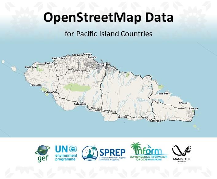
Datasets like buildings, roads, rivers, points of interest etc. are available for all 14 Pacific Islands Countries involved in the Inform Project: Cook Islands, Federated States of Micronesia, Fiji, Kiribati, Republic of the Marshall Islands, Nauru, Niue, Palau, Papua New Guinea, Samoa, Solomon Islands, Tonga, Tuvalu, and Vanuatu.
Search for “OSM” on your own national environment data portal or look for the complete dataset of all 14 countries on the Pacific Environment Portal.
The goal is to increase awareness among Pacific GIS users of the richness of OpenStreetMap data in Pacific countries, as well as the gaps, so that they can take advantage of this free resource, become interested in contributing to OSM, and perhaps join the global OSM community.
If you see gaps in the data, you can contribute to the OSM project, making the map more complete and up to date. The OSM datasets on this portal will be updated on a weekly basis, which allows for easy access to your own map contributions.
For more info on how to get involved, check out the documentation after downloading the dataset.