The effective use of Geographical Information Systems (GIS) helps drive informed decision making for sound environmental management through data analysis, mapping and enhanced research skills and innovation.
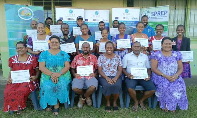
This was highlighted at a GIS training course held from 24 – 28 June 2024 in Port Vila facilitated by the Secretariat of the Pacific Regional Environment Programme (SPREP) for Vanuatu government agencies, non-government organisations and environmental practitioners. Moreover, the GIS training was conducted as a partnership between three strategic SPREP programmes funded by the European Union (EU) and implemented regionally and in Vanuatu by the: By-catch and Integrated Ecosystem Management (BIEM) Initiative, Pacific BioScapes Programme, African Caribbean Pacific (ACP) BIOPAMA. The fourth partner is the Vanuatu Klaemet Infomesen blong Redy, Adapt mo Protekt (Van-KIRAP project), funded by the Green Climate Fund.