Primary tabs
Solomon Islands Marine Pollution Incidents
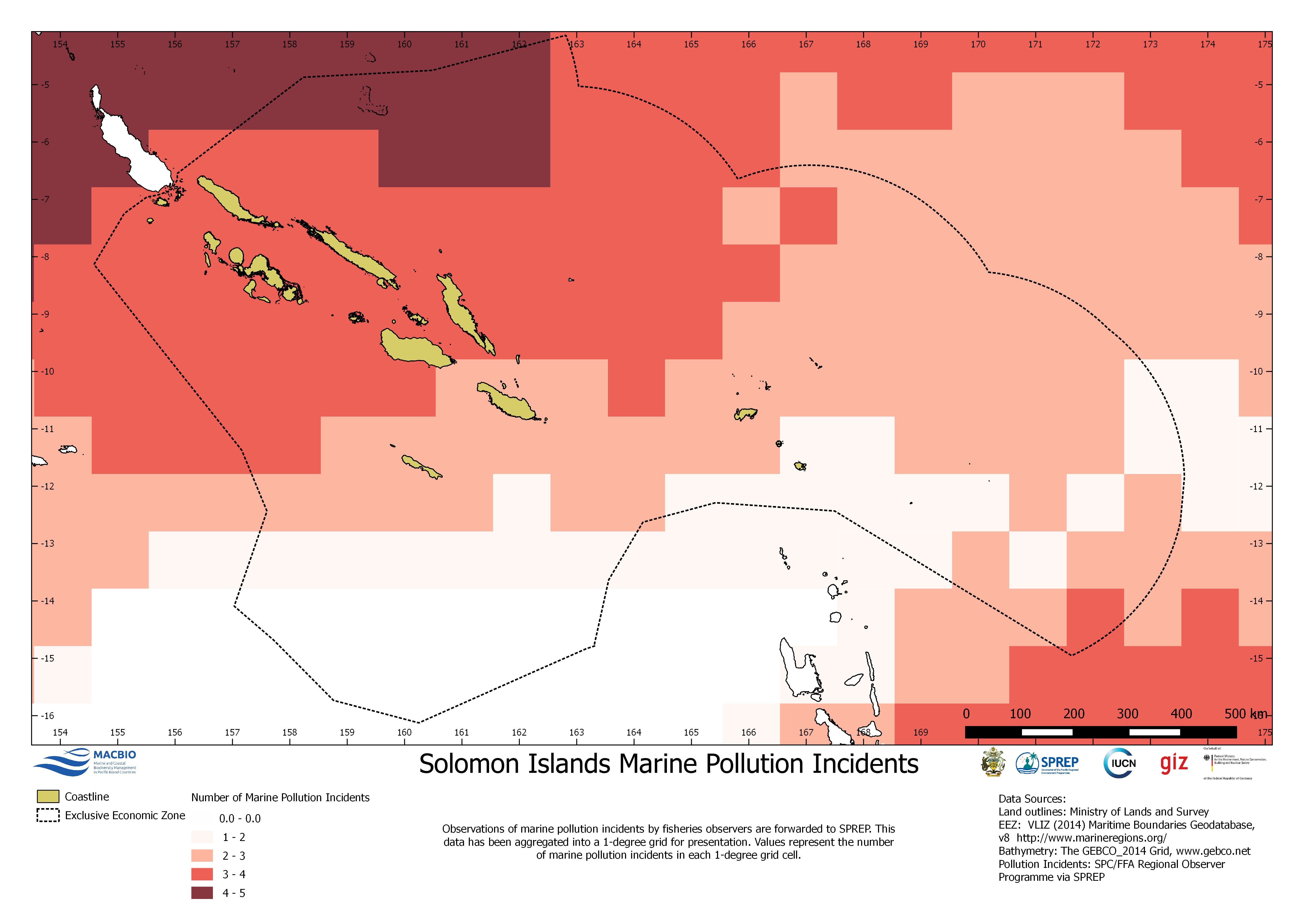
Map with 1-degree resolution of observations of marine pollution incidents. The map was developed by MACBIO as resource for the bioregions workshop in Feb 2018. Data is based on SPREP: SPC/FFA Regional Observer Programme.
SI_MarinePollution_EEZ.png
(701.26 KB)
Additonal Information
| Field | Value |
|---|---|
| mimetype | image/png |
| filesize | 701.26 KB |
| timestamp | Fri, 02/21/2025 - 13:00 |
| Source URL | https://solomonislands-data.sprep.org/dataset/solomon-islands-marine-pollution-incidents |