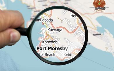
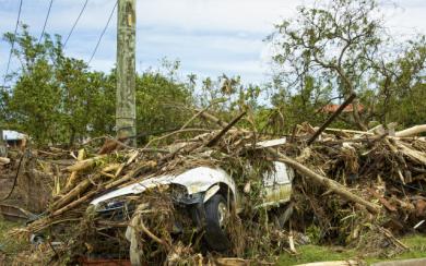
OpenStreetMap (OSM) is a free, editable map & spatial database of the whole world. This dataset is an extract of OpenStreetMap data for 21 Pacific Island Countries, in a GIS-friendly format.
The outputs of the Inform Project have positively contributed to strengthening national and regional capacity in the establishment of Environment Data Portals, State of the Environment reports, National Environment Management Strategy and the first Regional SOE.
Support for informed decision making when it comes to our environment, grows across the Pacific islands through the Inform Project. It has helped Pacific islands to access their national environmental data sets to ensure data-drive and support decision making.
We all depend on our unique Pacific biodiversity. Nature surrounds us, but natural Pacific species and spaces need our help, according to a new assessment released by the Secretariat of the Pacific Regional Environment Programme (SPREP).
The Inform Project of the Secretariat of the Pacific Regional Environment Programme (SPREP) hosted its second webinar to officially launch the Pacific Inform e-learning platform.
A series of online courses to help Pacific islands manage their own environmental data portals are now in development.
The Republic of the Marshall Islands is now working on updating their 2016 State of Environment (SOE) report. This year, the 2021 SOE has a focus on multi-stakeholder engagement and input during its preparation.
A useful and easy-to-access guide, designed to help SPREP Member countries implement and track environmental indicators, has been launched.