A recent gathering of Pacific experts and technicians in Geospatial Information Systems (GIS) in Suva Fiji will contribute to assisting Pacific communities by providing real time or near real time information about environmental conditions, improving Pacific resilience.
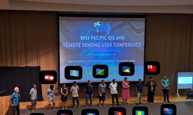
This information can support communities in making informed and timely decisions regarding resources management, and responses to disasters and environmental protection. The 25th Pacific Geospatial Conference, hosted by the Pacific GIS and Remote Sensing Council (PGRSC), convened under the theme ‘Improving Resilience in the Pacific Islands Through GIS and Remote Sensing.’
The five-day conference from 27 November to 1 December 2023 at USP in Fiji attracted more than 200 participants from around the Pacific region and the world. It coincided with the Annual General Meeting of the PGRSC, of which the Secretariat of the Pacific Regional Environment Programme (SPREP) is a founding member.