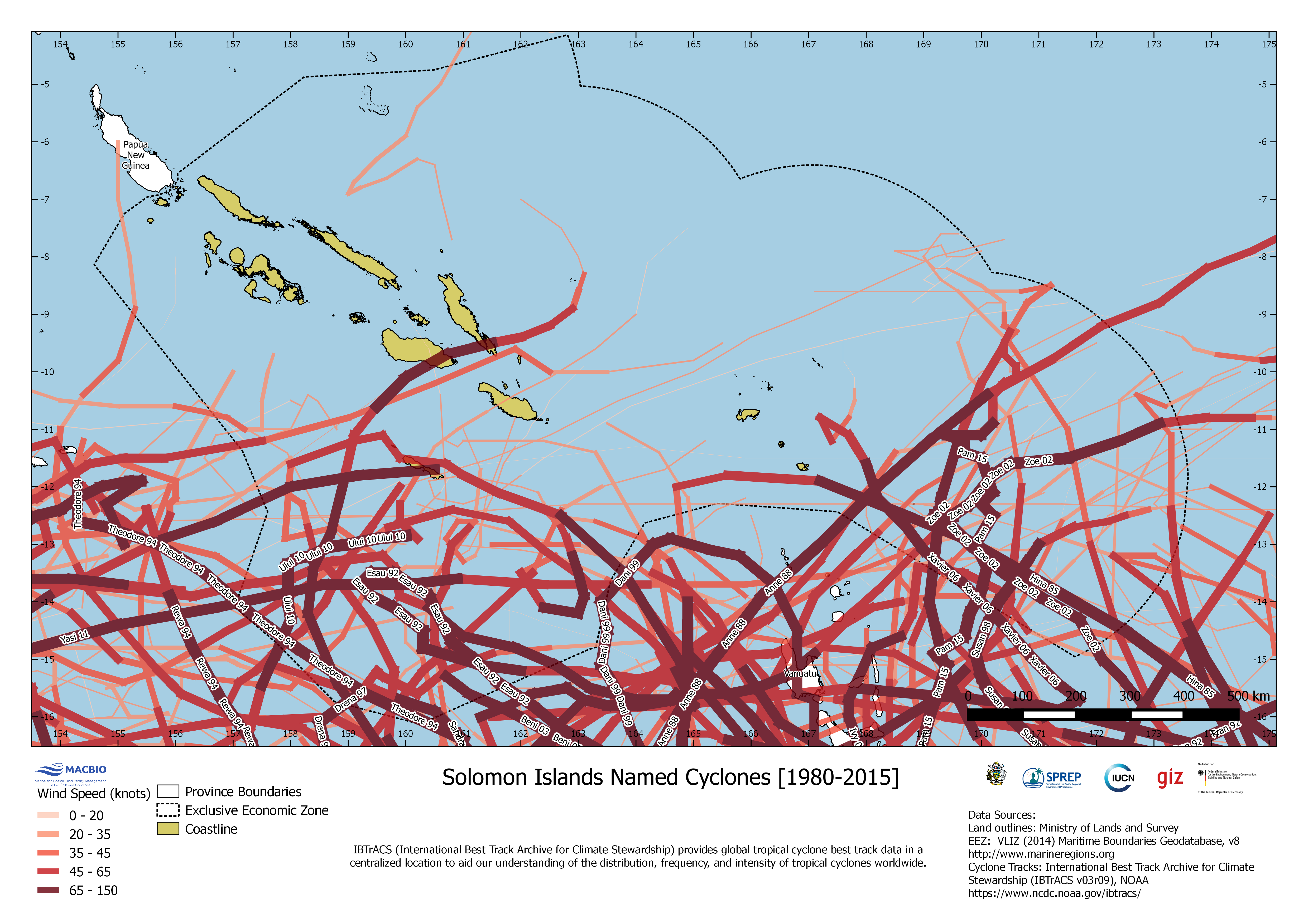
The map depicts paths and intensities of…
License
The map shows paths and intensities of tropical cyclones in Solomon Islands EEZ from 1980 to 2015.
| Field | Value |
|---|---|
| Publisher | Solomon Islands Ministry of Environment, Climate Change, Disaster Management and Meteorology |
| Modified | |
| Release Date | |
| Source URL | https://solomonislands-data.sprep.org/dataset/solomon-islands-named-cyclones-19… |
| Identifier | 83a05843-fc81-42b3-93b0-5d4d2fe475a2 |
| Spatial / Geographical Coverage Location | Solomon Islands |
| Relevant Countries | Solomon Islands |
| Language | English (Australia) |
| License |
SPREP Public Licence
![[Open Data]](https://assets.okfn.org/images/ok_buttons/od_80x15_blue.png)
|
| Contact Name | Anja Nicolay-Grosse Hokamp |
| Contact Email | [email protected] |
| POD Theme | Atmosphere and Climate, Coastal and Marine |